FDA-E.1716-2015
Parts
Object number
FDA-E.1716-2015
Identification
Title
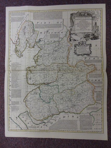
An Accurate Map of the County of Lancaster
Title Type
assigned by artist
Description
Content (place)
Lancashire
Dimensions
height (actual size): 705mm
width (actual size): 540mm
width (actual size): 540mm
Dimension note
Dimensions for plate size
Inscription
Lettered 'An Accurate Map of the / County of Lancaster / Divided into its / Hundreds / Laid down from the best authorities / assisted by the most approved modern Maps & Charts / with various Extracts relative to its / Natural Produce, Trade, Manufactures / and present State of the / Principal Towns. / By Eman: Bowen Geog. to His Majesty', with lots of text on map and around edges
Physical description
Plate mark
Production
Person
Date
1753


