FDA-E.1719-2015
Parts
Object number
FDA-E.1719-2015
Identification
Title
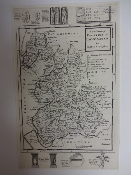
The County Palatine of Lancaster
Title Type
assigned by artist
Description
Content (place)
Lancashire
Content (note)
Map of Lancaster, with illustrations of a ruby, altars, a signet, an idol, etc.
Dimensions
height (actual size): 324mm
width (actual size): 201mm
width (actual size): 201mm
Dimension note
Dimensions for plate size
Inscription
Lettered 'The County / Palatine of / Lancaster / By / H. Moll Geographer', with lettered text on map and by illustrations
Physical description
Plate mark
Production
Person
Moll, Herman, c. 1654 - 1732 (Engraver)
Date
c.18th century


