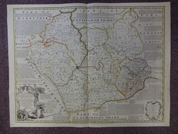
FDA-E.1730-2015
Parts
Object number
FDA-E.1730-2015
Identification
Title
An Accurate Map of the Counties of Leicester and Rutland
Title Type
assigned by artist
Description
Content (place)
Leicester
Rutland
Rutland
Dimensions
height (actual size): 542mm
width (actual size): 710mm
width (actual size): 710mm
Dimension note
Dimensions for plate size
Inscription
Lettered 'An / Accurate Map / of the Counties of / Leicester and Rutland / Divided into their respective / Hundreds / Drawn from the best Authorities & Illustrated with / Historical Extracts relative to Natural History, / produce, Trade & Manufactures, / distinguishing also amongst / Various other Improvements, the / Rectories, Vicarages, Charity Schools, / Religious Houses &c. / By Eman Bowen / Geog. to His Majesty'
Materials & techniques note
Coloured boundaries on map
Physical description
Plate mark
Production
Person
Bowen, Emanuel, ? - d. 1767 (Engraver)
Tinney, John, ? - 1761 (mapseller)
Bowles, Thomas, c.1695 - 1767 (mapseller)
Tinney, John, ? - 1761 (mapseller)
Bowles, Thomas, c.1695 - 1767 (mapseller)
Date
1756


